01
Detect
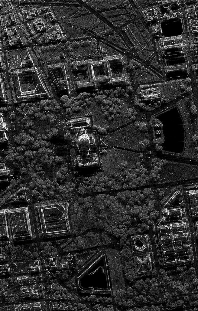
We continuously ingest open satellite and government data: Sentinel-1 synthetic aperture radar for surface and structural change, NASA GRACE-FO for groundwater storage anomalies, NASA FIRMS for active fire and smoke, USGS streamflow, FEMA flood mapping, EPA environmental justice screening, Census demographic data, CDC health measures, and FCC broadband coverage.
The question we ask of that data is narrow: where do the physical signals indicate need, and the response records indicate nobody is watching? That divergence, measured need against absent response, is what we look for.
It is not the same as where are conditions worst. It is where is the mismatch largest.